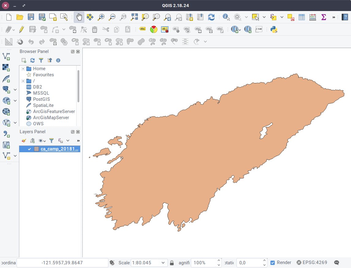
(2/6) The first step is to download the shapefile from the USGS server, then unzip the archive and open it in @qgis https://t.co/odzXY7CUvW https://t.co/k9Pz9pKING
(2/6) The first step is to download the shapefile from the USGS server, then unzip the archive and open it in @qgis https://t.co/odzXY7CUvW https://t.co/k9Pz9pKING